VINTON COUNTY OHIO


SURROUNDED BY:
|
|
COUNTY INFORMATION
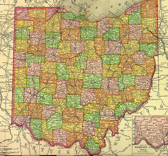
1895 Map of Ohio
(Click on Thumbnail
for Large Map)

Map modified with permission
of Ray Sterner from http://fermi.jhuapl.edu/states
DATE CREATED
1850
PARENT COUNTY
Gallia, Athens, Ross, Jackson, Hocking
COUNTY SEAT
McArthur
|
|
|

|
MAGGIE'S SKELETON CLOSET AKA PLACES TO SEEK YOUR ANCESTORS |

|
County Probate Court
100 E Main St
Mc Arthur, OH 45651
740-596-5480
Health Recovery Svc
107 S Sugar St
Mc Arthur, OH 45651
740-596-2542
OTHER INFORMATION
Vinton County was named in honor of Samuel Finley Vinton an early Ohio Statesman. Today the county is a leading recreational center with Zaleski State Forest and the Raccoon State Forest as tourist attractions.
The county seat of McArthur was named for Ohio governor Duncan McArthur. The area was an early iron working center. Coal, iron ore and fire-clay deposits have been found.
Probate Judge has birth & death records from 1867 to 1950, marriage records from 1850, probate records from 1867; County Health Department has birth records after 1950; Clerk of Courts has divorce, civil court & land records from 1850.
INFORMATIONAL LINKS
|
Bibliography (Includes detailed sources for all the information on this and the connected pages.) |
|
Hixson Plat Maps, Ohio Townships W. W. Hixson & Company, Rockford, Illinois
(These plat maps were published without dates or copyright notice,
but are believed to be from the 1920s and 1930s. The W. W. Hixson
Company published an Ohio Atlas around 1925 with individual County
maps and Township plat maps.) |
|
Vital Statistics (Includes Birth, Death, Marriage, Divorce, Land, Will & Estate Records.) This is an area
that explains where to look for vital records in the state of Ohio. |
Hosted by RootsWeb


© 1997 - 2011 by
Maggie Stewart-Zimmerman
|