GREENE COUNTY OHIO
|
|
COUNTY INFORMATION
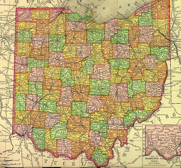
1895 Map of Ohio
(Click on Thumbnail
for Large Map)

Map modified with permission
of Ray Sterner from http://fermi.jhuapl.edu/states
 DATE CREATED
1803
PARENT COUNTY
Hamilton, Ross
COUNTY SEAT
Xenia
|
|
|

|
MAGGIE'S SKELETON CLOSET AKA PLACES TO SEEK YOUR ANCESTORS |

|
Greene County Probate Court
45 N Detroit St.
Xenia, OH 45385-3199
937-376-5006
Greene County Health District
360 Wilson Dr, Xenia, OH 45385
937-426-6351
Xenia Public Library
76 E Market St, Xenia, OH 45385
937-376-2995
The Greene County Room
at the Green County Public Library
Excellent Genealogy Collection
Hours:
Monday - Thursday 9am - 9pm
Friday & Saturday 9am - 5pm
P. O. Box 520
76 E. Market St., Xenia, Ohio 45385
937-376-4952
OTHER INFORMATION
Greene County, located 10 miles east of Dayton was named for Nathaniel Greene, a hero of the American Revolution. The Greene County area was once a principal Indian center.
Xenia is the county seat. In April 1974 a tornado destroyed 180 businesses and left 10,000 people homeless. Many of the buildings have been replaced.
The educational level per capita in Greene County is one of the highest in the state. There are six institutions of higher education located in the county including; Wright State University and the University of Dayton, East Campus.
Probate Court has birth records 1869 to 1908, marriage & probate records from 1803; Clerk of Courts has divorce, civil court & criminal records from 1802; County Health Department has birth records from 1908; County Recorder has deeds & plat maps from 1803; County Auditor has tax records from 1803.
INFORMATIONAL LINKS
|
Bibliography (Includes detailed sources for all the information on this and the connected pages.) |
|
Hixson Plat Maps, Ohio Townships W. W. Hixson & Company, Rockford, Illinois
(These plat maps were published without dates or copyright notice,
but are believed to be from the 1920s and 1930s. The W. W. Hixson
Company published an Ohio Atlas around 1925 with individual County
maps and Township plat maps.) |
|
Vital Statistics (Includes Birth, Death, Marriage, Divorce, Land, Will & Estate Records.) This is an area
that explains where to look for vital records in the state of Ohio. |
Hosted by RootsWeb


© 1997 - 2011 by
Maggie Stewart-Zimmerman
|