HARDIN COUNTY OHIO


SURROUNDED BY:
|
|
COUNTY INFORMATION
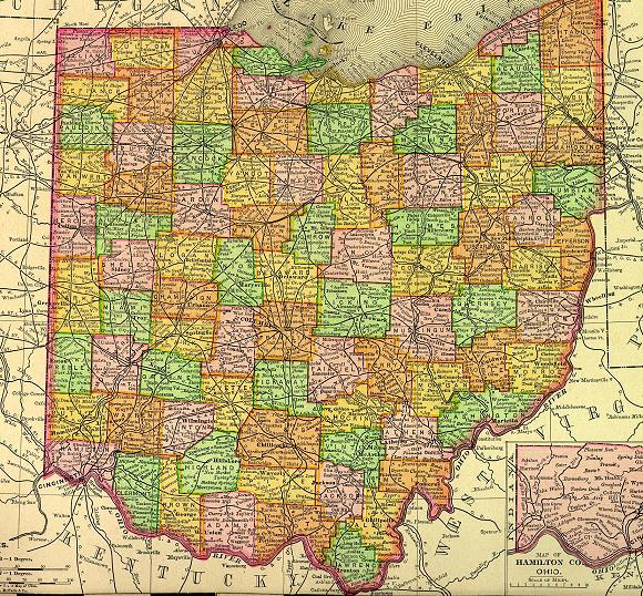
1895 Map of Ohio
(Click on Thumbnail
for Large Map)

Map modified with permission
of Ray Sterner from http://fermi.jhuapl.edu/states
DATE CREATED
1820
PARENT COUNTY
Logan
COUNTY SEAT
Kenton
|
|
|

|
MAGGIE'S SKELETON CLOSET AKA PLACES TO SEEK YOUR ANCESTORS |

|
Hardin County Probate Court
1 Court House Sq # 210
Kenton, OH 43326-0000
419-673-6283
Hardin County Board-Health
175 W Franklin St # 120, Kenton, OH 43326
419-673-6230
OTHER INFORMATION
Hardin County was formed in 1820 and named in honor of John Hardin. Hardin was a Revolutionary War leader who was slain by Ohio Indians while on a peace mission as an ambassador from President Washington.
Kenton, the county seat was established near Fort McArthur during the War of 1812. At one time the town had the largest wire fence factory in the country.
Agricultural products in the county include soybeans. Other principle industries are; machinery, transportation equipment, chemicals, fabricated metals, railroad cars, tank trucks, trailers, aircraft parts, hydroelectric equipment, sporting equipment and phenolic molding compounds.
Probate Judge has marriage & probate records; Clerk of Courts has divorce & civil court records from 1864; County Recorder has land records; Health Department has birth and death records.
INFORMATIONAL LINKS
|
Bibliography (Includes detailed sources for all the information on this and the connected pages.) |
|
Hixson Plat Maps, Ohio Townships W. W. Hixson & Company, Rockford, Illinois
(These plat maps were published without dates or copyright notice,
but are believed to be from the 1920s and 1930s. The W. W. Hixson
Company published an Ohio Atlas around 1925 with individual County
maps and Township plat maps.) |
|
Vital Statistics (Includes Birth, Death, Marriage, Divorce, Land, Will & Estate Records.) This is an area
that explains where to look for vital records in the state of Ohio. |
Hosted by RootsWeb


© 1997 - 2011 by
Maggie Stewart-Zimmerman
|