COSHOCTON COUNTY OHIO


SURROUNDED BY:
|
|
COUNTY INFORMATION
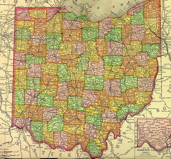
1895 Map of Ohio
(Click on Thumbnail
for Large Map)

Map modified with permission
of Ray Sterner from http://fermi.jhuapl.edu/states
DATE CREATED
1810
PARENT COUNTY
Muskingum, Tuscarawas
COUNTY SEAT
Coshocton
|
|
|

|
MAGGIE'S SKELETON CLOSET AKA PLACES TO SEEK YOUR ANCESTORS |

|
Coshocton County Courthouse
349 1/2 Main St.
Coshocton, OH 43812
740-622-1753
Coshocton County Probate Court
318 Main St.
Coshocton, OH 43812
740-622-1753
Coshocton Board Of Health
724 S 7th St, Coshocton, OH 43812
740-622-1426
Coshocton Public Library
655 Main St, Coshocton, OH 43812
740-622-0956
OTHER INFORMATION
Coshocton County is one of Ohio's largest counties. Its name is an Anglicized version of an Indian word meaning "black bear town." Mineral resources include; coal, iron ore and salt.
Knowledge of early Ohio has been obtained from the diary of Christopher Gist, a representative of the Ohio Land Company of Virginia. In 1750 Gist conducted the first Protestant Christmas service in Ohio on the site of present day Coshocton, the county seat.
|
|