CARROLL COUNTY OHIO
|
|
COUNTY INFORMATION
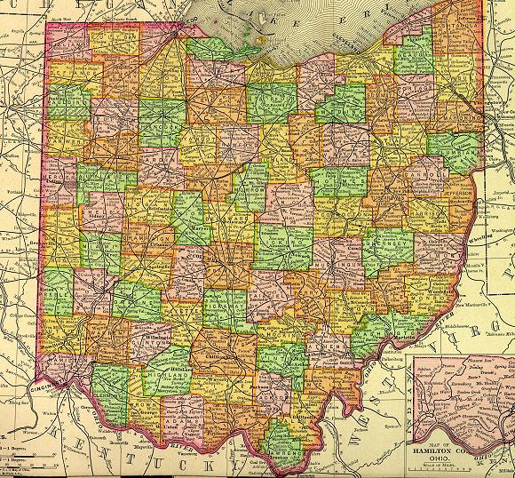
1895 Map of Ohio
(Click on Thumbnail
for Large Map)

Map modified with permission
of Ray Sterner from http://fermi.jhuapl.edu/states
 DATE CREATED
1833
PARENT COUNTY
Columbiana, Stark, Harrison, Jefferson, Tuscarawas
COUNTY SEAT
Carrollton
|
|
|

|
MAGGIE'S SKELETON CLOSET AKA PLACES TO SEEK YOUR ANCESTORS |

|
Carroll County Probate Court
119 Public Square
Carrollton, OH 44615-1492
330-627-2250
Civil Court
Court House Fl 3
Carrollton, OH 44615
330-627-5049
Carroll County Board Of Health
24 2nd St Ne, Carrollton, OH 44615
330-627-4866
Carroll County Dstrct Library
70 2nd St Ne, Carrollton, OH 44615
330-627-2613
OTHER INFORMATION
Carroll County, one of Ohio's smallest counties is located 40 miles southwest of Youngstown. It was named after Charles Carroll, the last surviving signer of the Declaration of Independence who died the year Carroll County was formed, in 1832.
Carrollton, the county seat was the home of the most distinguished military family, the McCooks, of the Civil War. Of the sixteen McCooks who enlisted their services, several became generals and all but one were officers. The McCook house in carrollton is maintained as a Civil War Museum.
|