PERRY COUNTY OHIO
|
|
COUNTY INFORMATION
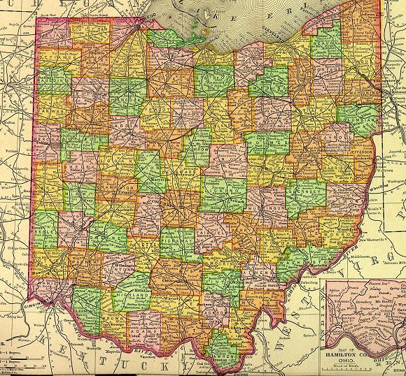
1895 Map of Ohio
(Click on Thumbnail
for Large Map)

Map modified with permission
of Ray Sterner from http://fermi.jhuapl.edu/states
 DATE CREATED
1818
PARENT COUNTY
Washington, Fairfield, Muskingum
COUNTY SEAT
New Lexington
|
|
|

|
MAGGIE'S SKELETON CLOSET AKA PLACES TO SEEK YOUR ANCESTORS |

|
Perry County Probate Judge
105 N Main St
New Lexington, OH 43764-0000
740-342-2045
Perry County Health Board
121 W Brown St
New Lexington, OH 43764
740-342-5179
Perry County District Library
117 S Jackson St
New Lexington, OH 43764
Perry County Chapter of the OGS
(Ohio Genealogical Society)
P.O. Box 275
Junction City, OH 43748
Please Address Queries to:
Sue Saylor (Local Genealogical Society Member)
Genealogy Research
Genealogy & Historical Information for PERRY COUNTY, OH - This is
Timothy Fisher's site. He is currently putting
the History of Perry County on this site and had quite a bit of it completed. There
are biographical sketches. You may e-mail him
for questions.
OTHER INFORMATION
Perry County was first settled by Pennsylvania Germans in the early 1800's. The county is named in honor of Commodore Oliver Hazard Perry, a hero of the Battle of Lake Erie in 1813.
|