MONROE COUNTY OHIO
|
|
COUNTY INFORMATION
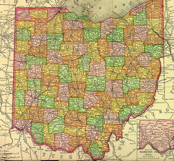
1895 Map of Ohio
(Click on Thumbnail
for Large Map)

Map modified with permission
of Ray Sterner from http://fermi.jhuapl.edu/states
 DATE CREATED
1813
PARENT COUNTY
Belmont, Washington, Guernsey
COUNTY SEAT
Woodsfield
|
|
|

|
MAGGIE'S SKELETON CLOSET AKA PLACES TO SEEK YOUR ANCESTORS |

|
Monroe County Courthouse
101 North Main Street
Woodsfield, OH 43793-1097
740-472-0873
Hours:
Monday through Friday
8:00 a.m. - 4:30 p.m.
Monroe County Probate Judge
101 N Main St
Woodsfield, OH 43793
740-472-1654
Monroe County Health Dept
47029 Moore Ridge Rd
Woodsfield, OH 43793
740-472-1677
OTHER INFORMATION
Monroe County is situated on the Ohio River where the land is generally hilly. One of the state's largest coal mines is located in the county.
Woodsfield, formed in 1814, is the county seat. The 1890's saw a temporary boom in oil and gas wells. Because the county is scenic and sparsely populated many riding clubs have been formed and stable horses are raised.
Agricultural industries include dairy products. Other industries are; metals, lumber products, aluminum, ferroalloys, and apparel.
Clerk of Courts has divorce and civil court records from early 1800s.
INFORMATIONAL LINKS
|
Bibliography (Includes detailed sources for all the information on this and the connected pages.) |
|
Hixson Plat Maps, Ohio Townships W. W. Hixson & Company, Rockford, Illinois
(These plat maps were published without dates or copyright notice,
but are believed to be from the 1920s and 1930s. The W. W. Hixson
Company published an Ohio Atlas around 1925 with individual County
maps and Township plat maps.) |
|
Vital Statistics (Includes Birth, Death, Marriage, Divorce, Land, Will & Estate Records.) This is an area
that explains where to look for vital records in the state of Ohio. |
Hosted by RootsWeb


© 1997 - 2011 by
Maggie Stewart-Zimmerman
|