Here is a nice map of the Netherlands, from a GREAT travel brochure (62
pages) titled "How to see Holland", printed in 1929. (Sorry, it is
large)


Here is a map from O'Callaghan's "Documentary History of the State of
New York", 1851.
It is pretty much of both sides of the Hudson River in New York from Manor of
Livingston, north through Lake Champlain, into Canada. What makes it
unique is that it shows boundaries and names of grants and patents along the
Hudson & Mohawk Rivers, with many of the old Dutch names appearing. It
also shows towns in the disputed lands that became the State of Vermont.
It is a bit strange in that it is oriented with North to the left.
Warning: this is a very large file (8 meg), scanned at a high
resolution to make it readable.

One of the items I have in this conglomeration is a 300 year old atlas titled 'de
Vyerighe Colom'. Seems it is an atlas of the United Netherlands and Belgium, printed in
1696. Although the book itself is in rather poor shape, each of the maps are intact
and I have scanned them all into 'gif' files which may be downloaded from this page.
The last page (p. 50) is missing from the atlas. It is similar to pages 48 &
49, showing small portraits of some of the historic leaders. (I think).
Warning: these files are large, each is about 2 meg. Sorry, but after some trial
and error I chose this resolution & size as a trade off to make them mostly readable
yet not HUGE.
They are too large to print nicely, so the best bet would be to save them on
YOUR computer then you can load them into a decent graphics program for viewing.
Click on the Page/Map to view online. Rather than waiting for
the whole picture to display, you can 'Stop' the display and right click your
mouse to bring up a menu to save the picture. Even though the entire
picture is not displayed, it will save the whole thing, at least this works with
Netscape.
I know next to nothing about this atlas and exactly what it shows, so it won't help to
ask me.
Well, hope some folks find this useful.
Page i - Title info
Page ii
Page iii
Map 1 - Belgii Veteris Typus ... Abr. Ortelii
The
Low countries in Ancient time according to Abr. Ortelius
Map 2 - Belgium sive Inferior Germania - The Netherlands
Map 3 - Le Duche de Brabant
Map 4 - La Mayerie de Bolduc, autrement dict Bois le Duc
Map 5 - Het Marquisaetschap van Bergen op Zoom
Map 6 - Baroniam Bredanam - The Barony of Breda
Map 7 - Ducatus Limburg
Map 8 - Comitatus Valkenburg et Dalem
Map 9 - Le Duche de Lutzenbourg
Map 10 - Le Duche de Gueldres
Map 11 - Le Terres entre la Muese, Vahal et Rhin
Map 12 - De Veluwe
Map 13 - La Fosse de S. Marie apelle aussi Eugenienne
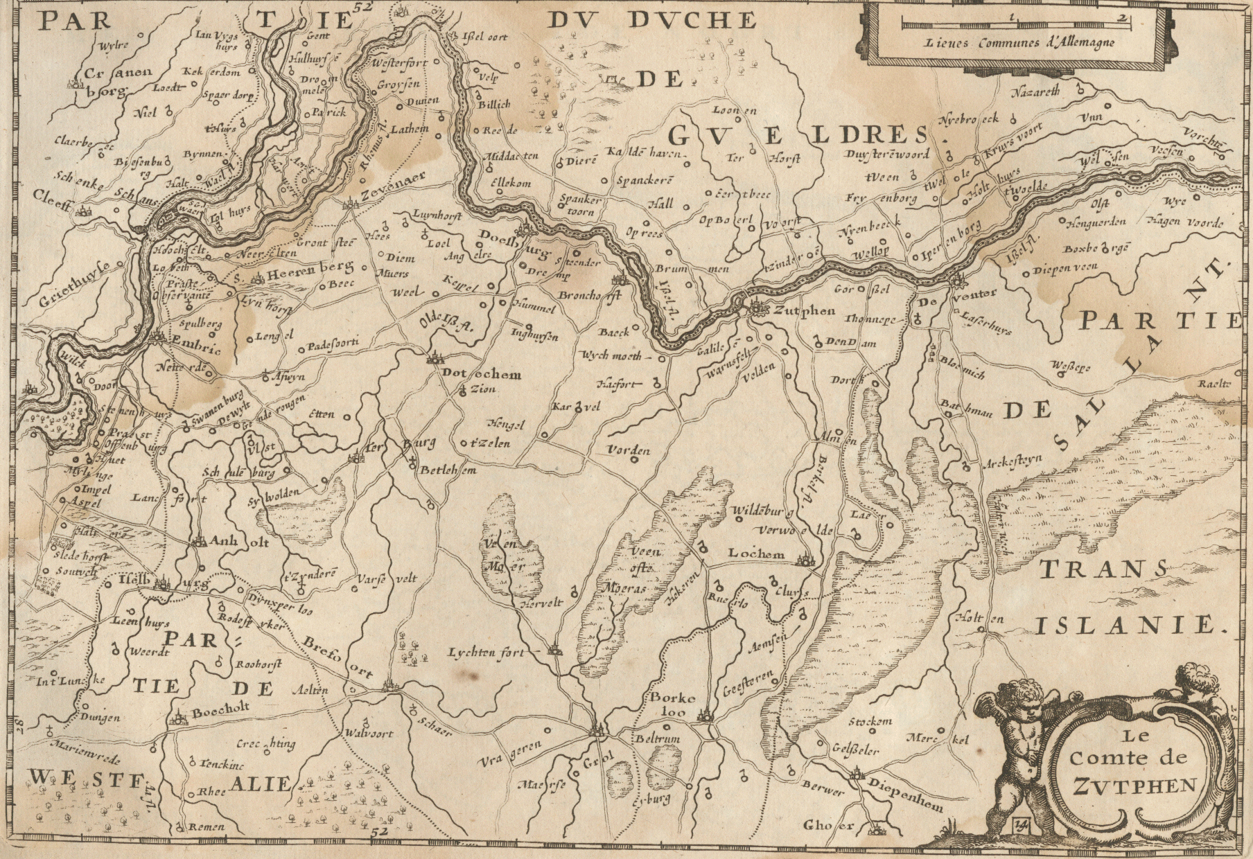
Map 14 - Le Comte de Zutphen
Map 15 - Comitatus Flandria
Map 16 - Partie de la Flandre Orientale
Map 17 - La Flandre Gallicane - French Flandres
Map 18 - La Flandre Imperiale
Map 19 - Partie de la Flandre Occidentale - Part of West
Flandres
Map 20 - De vier Ambachten - The Four Manors
Map 21 - Le Comte de Haynault
Map 22 - Le Comte de Artois
Map 23 - Dioecesis Leodiensis Accurata Tabula - Diocese
of Liege
Map 24 - Comitatus Namurci
Map 25 - Le Comte de Hollande
Map 26 - La Hollande Septentrionale - Holland north of
the IJ
Map 27 - De Zype - The Polder Zype
Map 28 - Beemster - The Polder Beemster
Map 29 - De Purmer; De Wormer
Map 30 - Byllemer-meer
Map 31 - Caarte van Waterland; Watergraefsmeer anders
ghenaempt Diemer Meer
Map 32 - Caerte van de Heer-Huygenwaert
Map 33 - La Rhinlande, Amstellande etc.
Map 34 - Table de Delflande, Schielande etc.
Map 35 - Nouvelle Table des Isles Dordrecht,
Alblasser,
Crimper etc.
Map 36 - Zeelandia Comitatus
Map 37 - Walcheren
Map 38 - Episcopatus Ultrajectensis vulgo Het Sticht van
Utrecht
Map 39 - Frisia Occidentalis - West Friesland
Map 40 - Ooster-goe
Map 41 - Wester-goe
Map 42 - De Zeeven Wolden
Map 43 - Groninga Dominium
Map 44 - Mechlinia Dominium
Map 45 - Marchionatus Sacri Imperi
The
Margraviate of the Holy Roman Empire (Antwerp)
Map 46 - Ditio Trans-Isulana - The Seignory Overijssel
Map 47 - Drentiae - Drenthe
Page 48 - Portraits
Page 49 - Portraits


